China's Brahmaputra Mega-Dam Races Ahead, and India's Response Clock Is Ticking
Construction of the world's largest hydropower project on the Yarlung Tsangpo is moving fast near the Arunachal border. The choices India makes while the concrete is still being poured will shape the Brahmaputra for decades.

Senapathi Desk
Staff reports & analysis
Published
3 min read
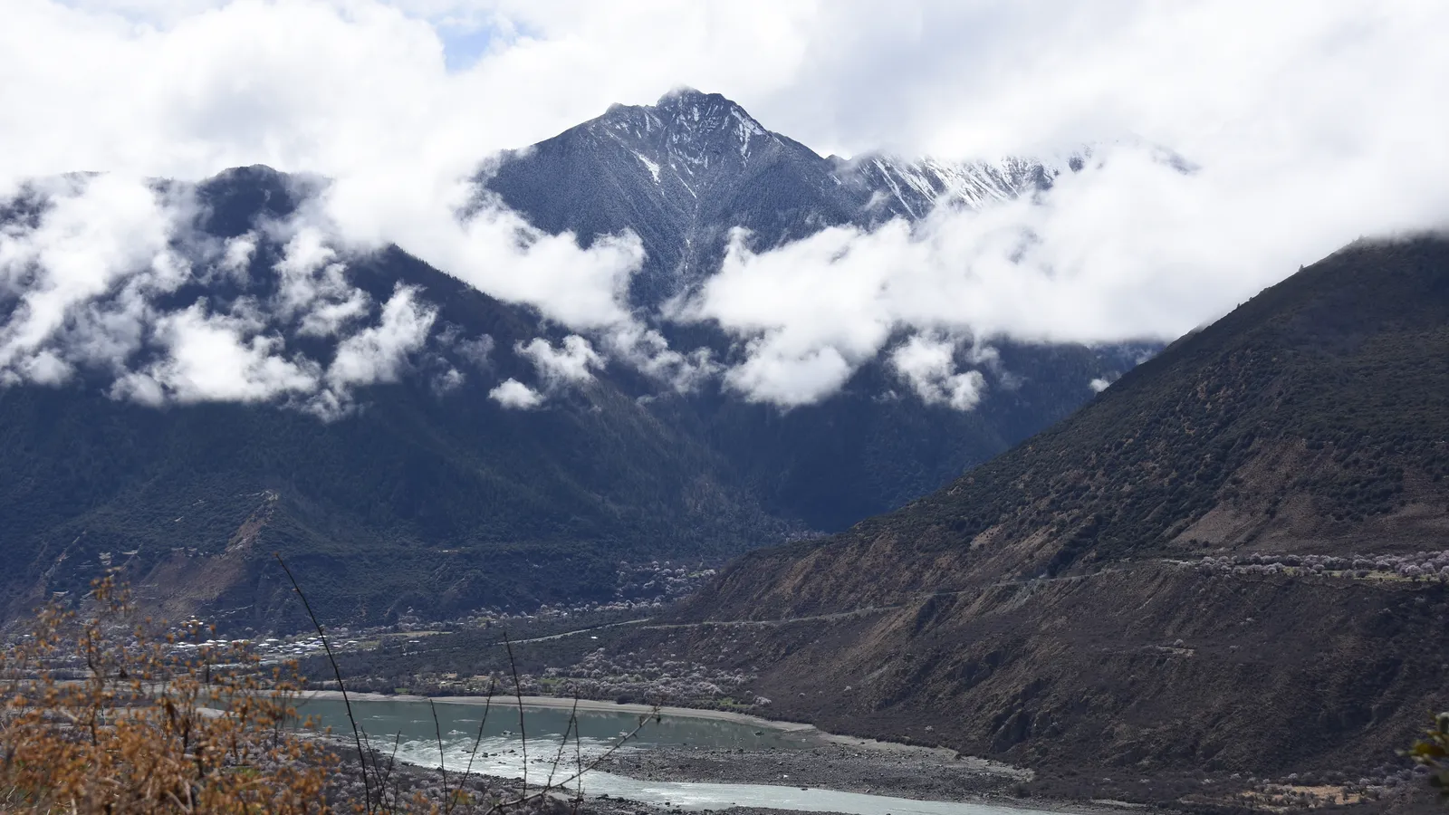
The argument over whether China would ever dam the lower Yarlung Tsangpo is over. Construction of what is expected to be the world’s largest hydropower project is now underway on the river’s lower reaches in Tibet, close to where it sweeps around the eastern Himalaya and enters Arunachal Pradesh — and by the latest accounts it is moving fast. As of the end of June, India is formally monitoring the project. The live question has shifted from whether the dam gets built to what everyone downstream does while it is being built.
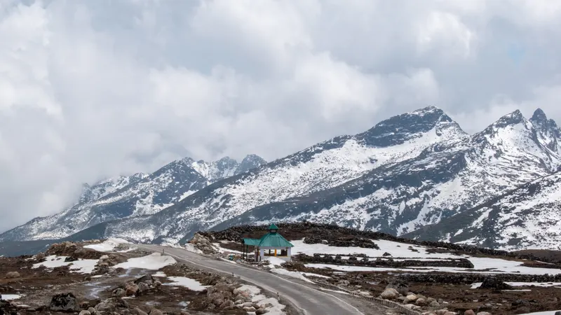
The geography explains the alarm. The Yarlung Tsangpo drops through some of the deepest gorge country on earth before crossing into India as the Siang and becoming the Brahmaputra, the river on which Assam’s floodplain and much of the north-east depend. A dam on the lower reaches sits close against the eastern Line of Actual Control, the most sensitive stretch of the India–China frontier. Control of the river’s flow at that point is not merely an engineering fact; it is strategic geography. In a normal year, it means China decides how much water arrives downstream and when. In a bad year — a standoff, a crisis — it becomes leverage that does not require a single soldier to move.
For China, the logic is straightforward and, once executed, irreversible. A global hydropower assessment published at the end of June describes the project as set to be the largest in the world, cementing the country’s dominance in hydropower. Dams of this class are generational infrastructure: once the turbines turn, the facts they create on the river last for a century. That is precisely why the construction period matters so much to India. It is the only window in which the project’s terms are still, in any meaningful sense, negotiable.
What India Has to Decide
The first decision is what monitoring should become. India currently watches — through satellite passes, river gauges and diplomatic queries. There is no water-sharing treaty between India and China; the two sides have historically exchanged only limited hydrological data, and even that thin flow has been hostage to the wider relationship. The forward choice is whether India pushes to convert observation into obligation — commitments on data transparency, reservoir operations and advance notice of releases, sought now, while China still values diplomatic quiet around the project — or accepts a future of permanent inference from imagery.
The second decision is physical. India has long debated building its own storage on the Siang, partly to establish downstream use of the waters and partly to create a buffer that could absorb sudden surges or withheld flows from upstream. Those proposals are politically contested in Arunachal Pradesh and environmentally fraught, and they have moved slowly. The upstream dam’s pace resets that calculus: every month of rapid construction in Tibet shortens the period in which an Indian counter-project could be anything more than symbolic.
Then there is the risk neither government controls. The gorge country where the river bends is among the most seismically violent terrain on the planet, shaped by the same tectonic collision that raised the Himalayas. A failure or earthquake-triggered event at a structure of record-breaking scale would not respect the LAC; the water would arrive in India in hours, not days. That makes dam-safety information — design standards, stress monitoring, emergency protocols — a downstream security interest in its own right, and a probable early test of whether China is prepared to treat the project as a shared-basin question at all.
What happens next will run on two clocks. China’s clock is construction, and it is running fast — which is, in part, the point of building at this pace. India’s clock is the time left to shape the rules of the river before they are set in concrete. For a decade, the eastern Himalaya has been a story of roads, airstrips and troop positions. The next decade’s contest on the same frontier may be measured in water — and as June closed, that contest had already begun.
Sources
Senapathi Desk
Staff reports & analysis
The Senapathi Report news desk. Original reporting and analysis synthesised from multiple corroborated sources — defence procurement, service developments and regional security, filed as it happens.